Copyright ©2000-2011
The content of this site, including the
text and photographs, are the exclusive property of Steve Fredrick.
This means you are welcome to view and enjoy; however, you do NOT have
rights to copy, store, print, or republish any of the content without the
written permission of Steve Fredrick.
Let me know what you think about the site or the images. Send me an email .
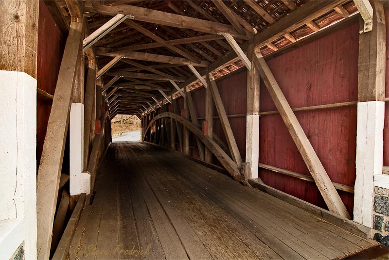
Lancaster City Covered Bridges
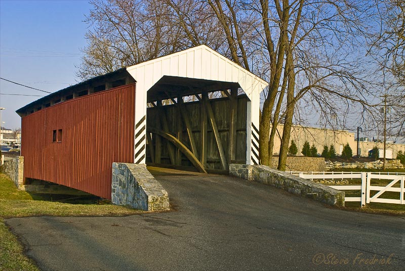
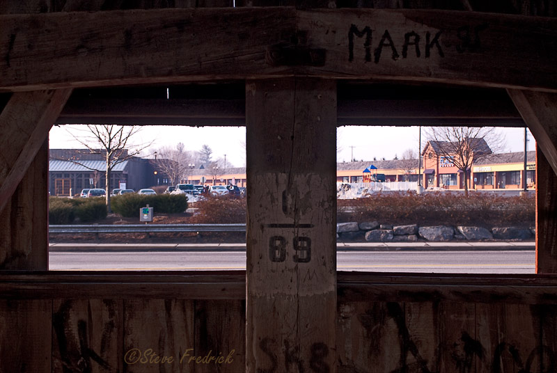
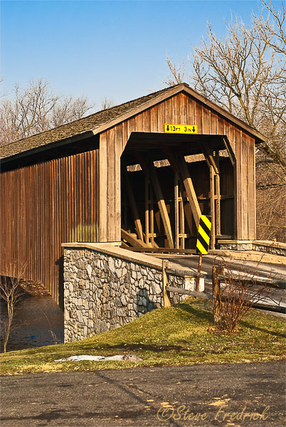
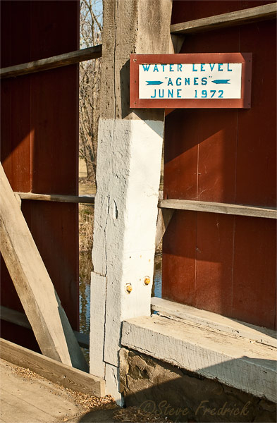
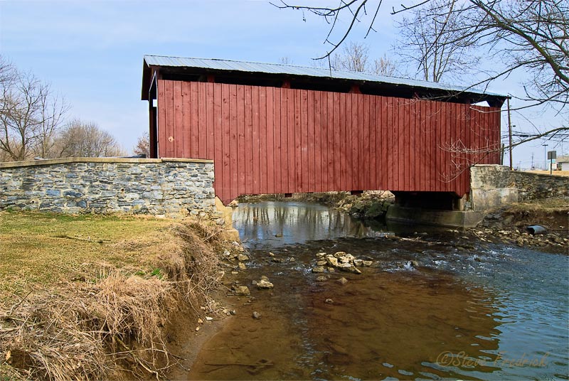
Willow Hill Covered Bridge
 |
 |
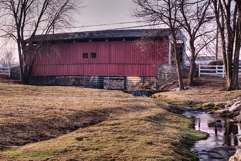 |
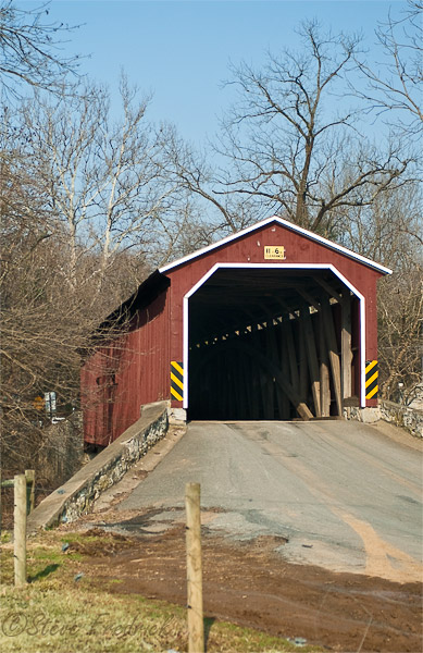
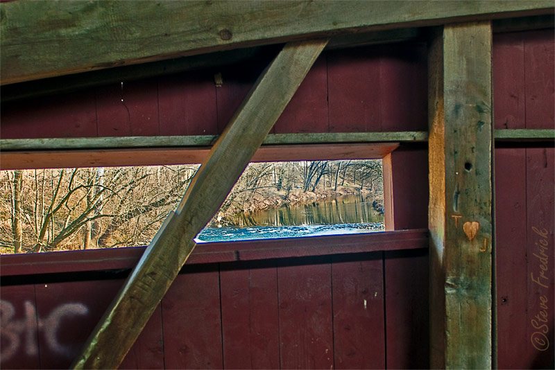
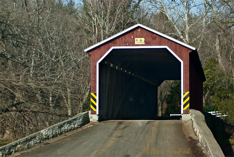
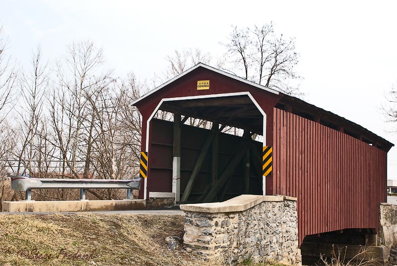
Hunseckers Mill Covered Bridge
 |
 |
|
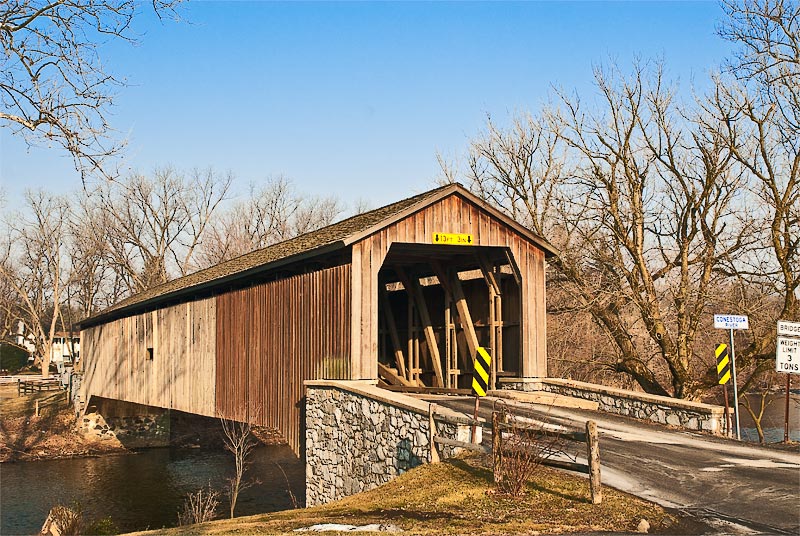
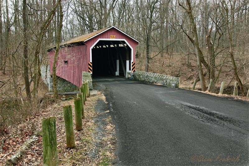
Pinetown Covered Bridge
 |
 |
 |
Zook's Mill Covered Bridge
 |
 |
|
Landis Mill Covered Bridge
 |
 |
|
Kurtz's Mill Covered Bridge
 |
 |
|
Back to Lancaster County Covered Bridge Page
Back to the main Covered Bridge Page
To the other bridges in Lancaster County:
| Willow Hill Covered Bridge | 40°01.470N | 76°12.063W |
| Hunseckers Mill Covered Bridge | 40°05.268N | 76°14.914W |
| Pinetown Covered Bridge | 40°06.333N | 76°14.854W |
| Zook's Mill Covered Bridge | 40°07.813N | 76°13.856W |
| Landis Mill Covered Bridge | 40°04.116N | 76°20.717W |
| Kurtz's Mill Covered Bridge | 40°00.925N | 76°16.907W |