Copyright ©2000-2011
The content of this site, including the
text and photographs, are the exclusive property of Steve Fredrick.
This means you are welcome to view and enjoy; however, you do NOT have
rights to copy, store, print, or republish any of the content without the
written permission of Steve Fredrick.
Let me know what you think about the site or the images. Send me an email .
Covered Bridges of Central Chester County
Doe Run
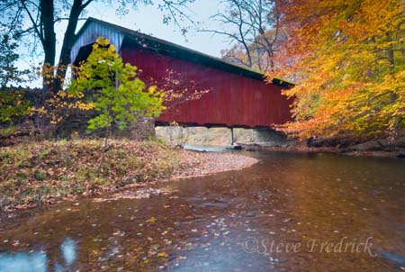
Hayes Clark Bridge
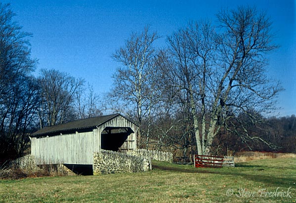
Together the Mary Ann Pyle Bridge and Hayes Clark are called the twin bridges. Both utilized Queenpost constructions and both are located on the Laurel Reserve.
![]()
Buck Run
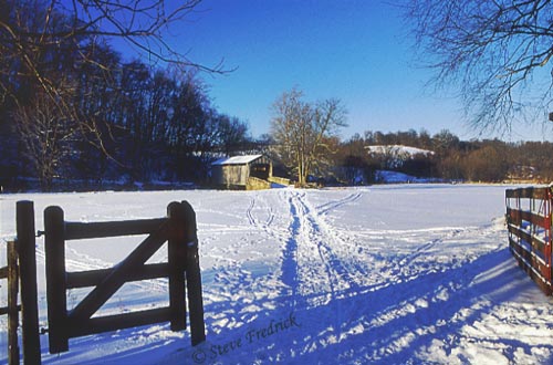
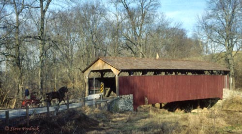
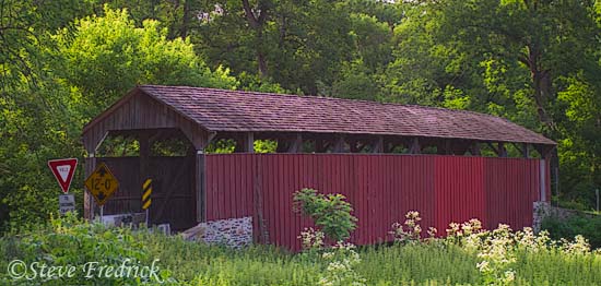
Mary Ann Pyle Bridge
This bridge is also known as Speakman Bridge #2. It is about 1/4 mile from Hayes Clark and is also in the Laurel Reserve.
Oct 2006 A couple of years later and some much needed maintenance that included a new coat of paint. Between the new paint and the growth around it, it is hard to believe that it's the same bridge.
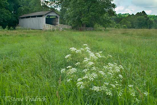
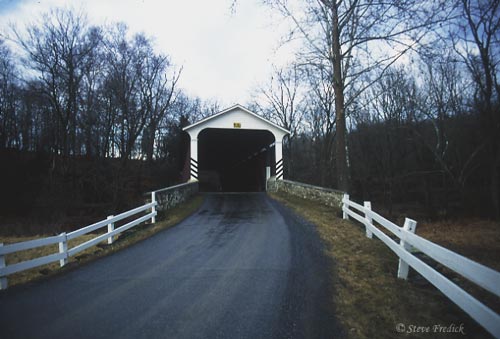
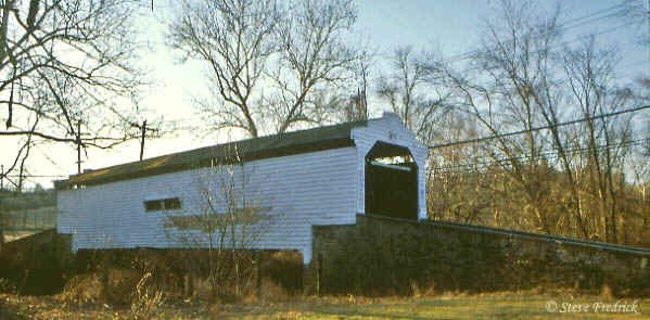
Speakman's Bridge
 |
 |
Speakman's crosses Buck Run about one and a half miles upstream of the Mary Ann Pyle Bridge.
![]()
Octoraro Creek
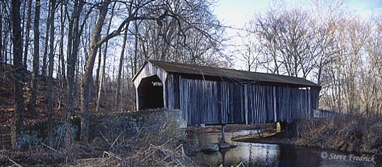
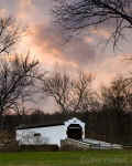
Mercer's Bridge
Mercer's is one of two remaining bridges that cross the Octoraro Creek. They both link Chester and Lancaster Counties. The other bridge is Pine Grove (see Southern Chester Co).
![]()
Brandywine Creek (East Branch)
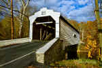
Harmony Hill or Gibson's Bridge
Of the 11 covered bridges that once crossed the Brandywine this is the only one remaining.

This bridge has recently had some repairs and a new coat of paint.
![]()
Marsh Creek Park
Larkin's Bridge
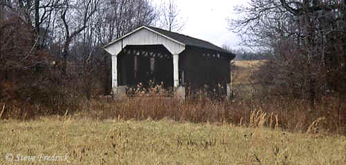
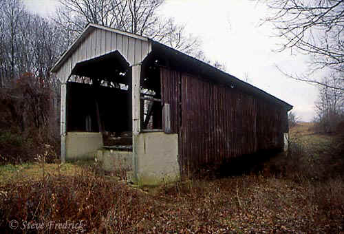
Larkin's is no longer in use. When Marsh Creek reservoir was built, around 1972, this bridge was moved to an undeveloped part of the park. It's original site is now 50-60 feet underwater. (The rest of this paragraph is old information, see below.) The bridge is not in the best of shape and sits in an open field and is overgrown with weeds. It crossing a very small creek that is often dry.
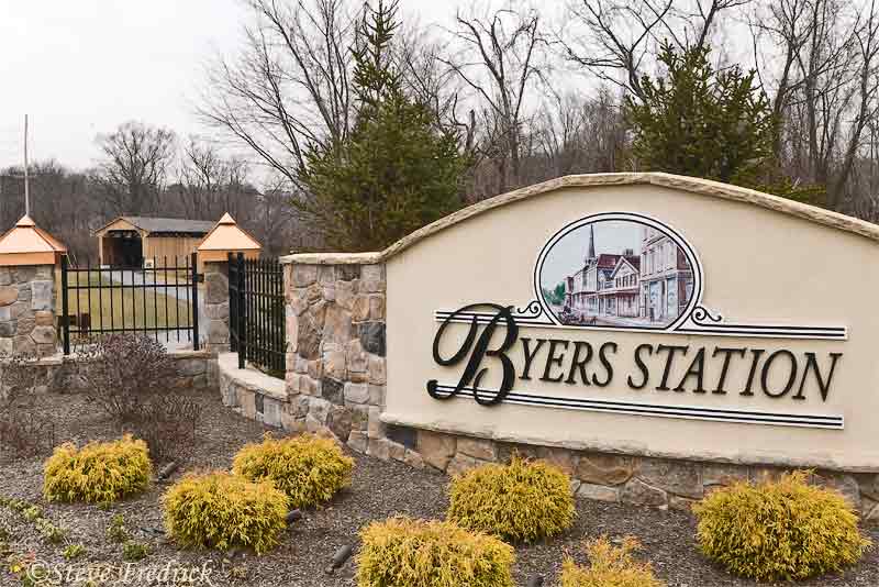
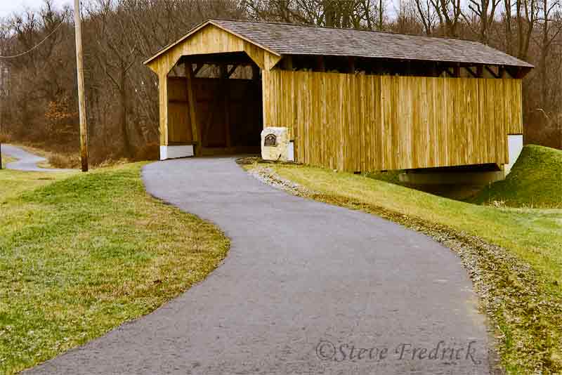
In 2006 Larkin's was "moved" once again. "Moved" in quotes because it wasn't moved in tact but torn down and rebuilt in a new location. It now sits outside a housing development, Byers Station. But only a fraction of it's original timbers were used. See the Larkin Page for pictures showing how the old timbers were integrated with new wood. It's new location is now outside of Marsh Creek State Park at the intersection of Station Blvd and Graphite Mine Rd. (From Rt 100 go to where you would turn off to go to Marsh Creek SP. Instead of turning on Park Rd., turn the other direction onto Station Blvd. Larkin's is up a block or so.)
![]()
To view pictures of bridges in other parts of Chester County follow the following links.
Northeast Chester County Southern Chester Co
Or use these to go back to
Covered Bridges Chester County CB Landscape Home
![]()
| Hayes Clark Bridge | 39° 55.196N | 75° 47.913W |
| Mary Ann Pyle | 39° 55.303N | 75° 48.000W |
| Laurels Preserve* Parking Lot | 39* 54.065N | 75° 47.832W |
| Speakman's Bridge | 39° 55.746N | 75° 49.367W |
| Mercer's Mill | 39° 55.879N | 75° 58.864W |
| Gibson's (Harmony Hill) | 39° 58.536N | 75° 40.992W |
| Larkin | 40° 04.913N | 75° 41.121W |
*Laurels Reserve is private property managed by the Brandywine Conservancy.